- Navigate with precision: enjoy the most extensive and detailed bathymetric maps by geographical area.
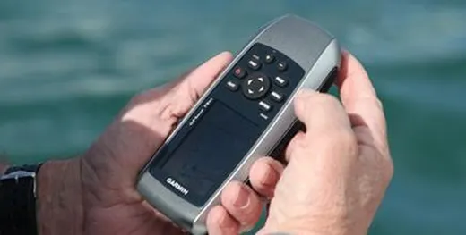
- Plug&Play: connect your card to your device and navigate. Don't waste time with boring software updates. Connect and navigate.
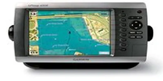
- Navigation assistant: easy to use and intuitive. Information about the environment, such as sunken structures, warnings to navigation (prohibited or shallow navigation area), data of depth, with all level of detail etc.
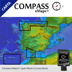
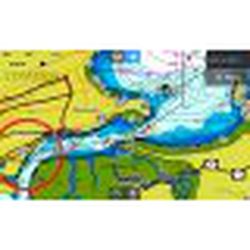
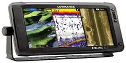
Whether you are a professional fisherman, occasional implementer or you are passionate about navigation, the Compass E+ series ;you have all the main features you need in a nautical chart to make the most of your time both in fishing action and sailing, optimize your hours on the water to the maximum. Compass E+ has the best bathymetry high resolution graphics, compatible with data generated by Genesis® Live, along with full-featured vector graphics, custom depth shading, tides and currents.
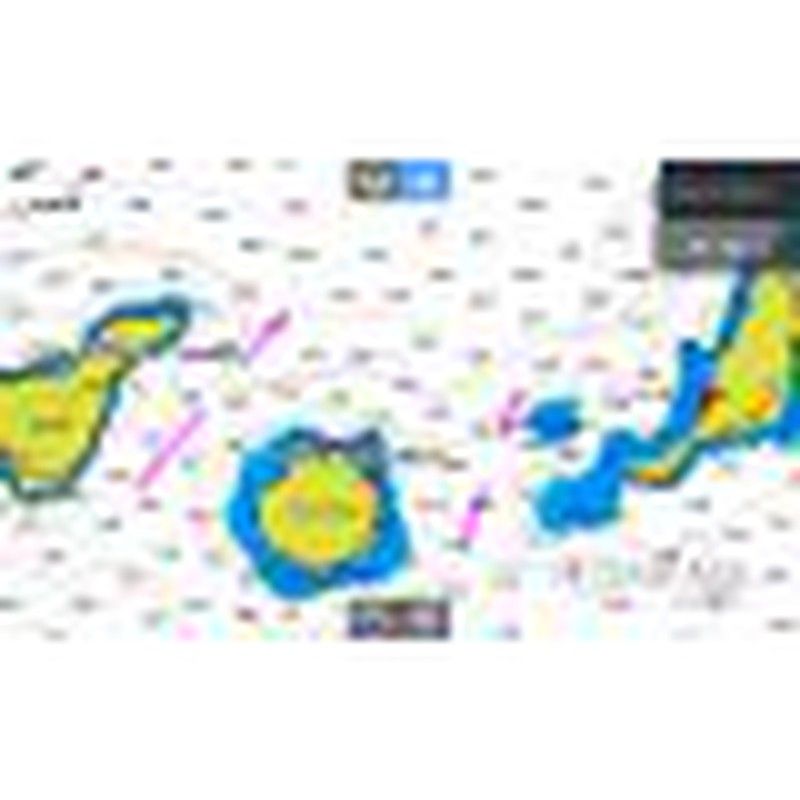
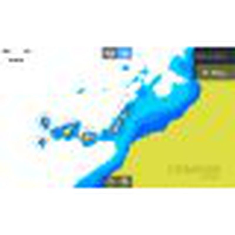
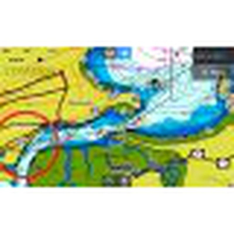
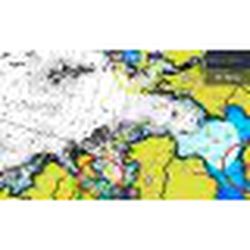
FULL VECTOR GRAPHICS: < br>We provide both boaters and fishermen with details accurate vector chart, including depth areas and contours, point soundings, navigational and fishing aids, shipwrecks, etc. Much more information with full level of detail.
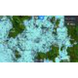
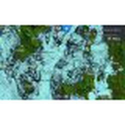
- DEPTH SHADING:
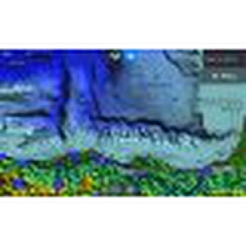
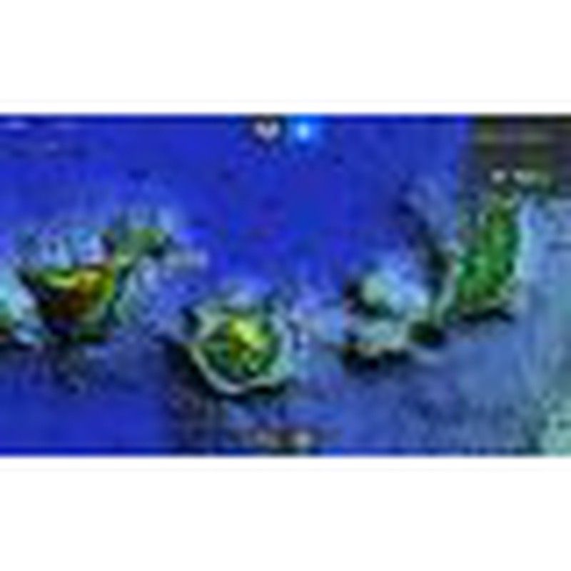
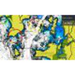
Shaded contours showing the highest level of information about bottom, cliffs , cornices and underwater platforms. Discover new fishing areas. - HIGH RESOLUTION BATHYMETRY
Bathymetry features HD detail, high resolution with Bathymetry detail both near shore and offshore, platforms, canyons, marine cornices that will help fishermen to find fruitful areas for fishing. Your most productive fishing days - PORT AND APPROACH DETAILS: unprecedented level of detail. Approach any harbor and inlet with confidence. The perfect conclusion to a long trip, a sailing adventure or an exciting day of fishing.
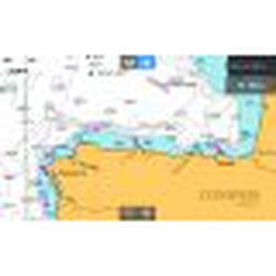
- RASTER CHART:
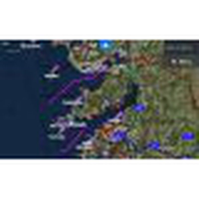
Nautical chart that They will give us a visual and graphic aspect to traditional paper charts. - SHADOW RELIEF:
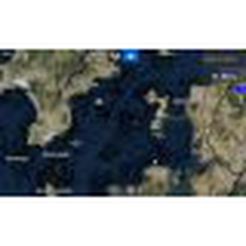
Thanks to the shaded relief we will be able to see the data with a 3D appearance, which will be much easier to interpret our chart than traditional contour lines. - SATELLITE OVERLAY
Satellite imagery that will provide you with an invaluable reference for both fishing and navigation. A great addition that will improve situational awareness for navigation at all times.
- NEW Shaded Relief allows fishermen and boaters to display bathymetry with standard contour lines or with shaded relief, or both that is easy to interpret.
- All current coverage of the high HD HD seafloor in our current Compass E+ products. < /li>
- With these features and more, the Compass E+ is ready to take your boating fishing pleasure to new levels.