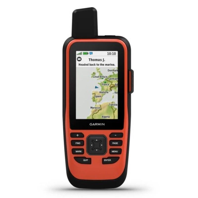
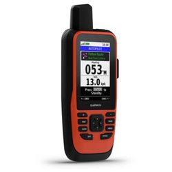
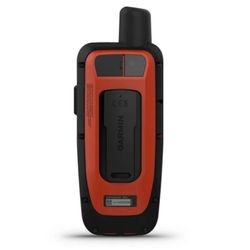
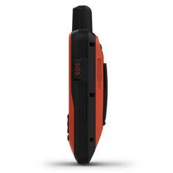
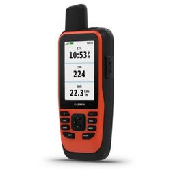
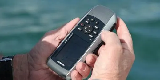
It's waterproof and floats, so it'll feel as at home as you do.
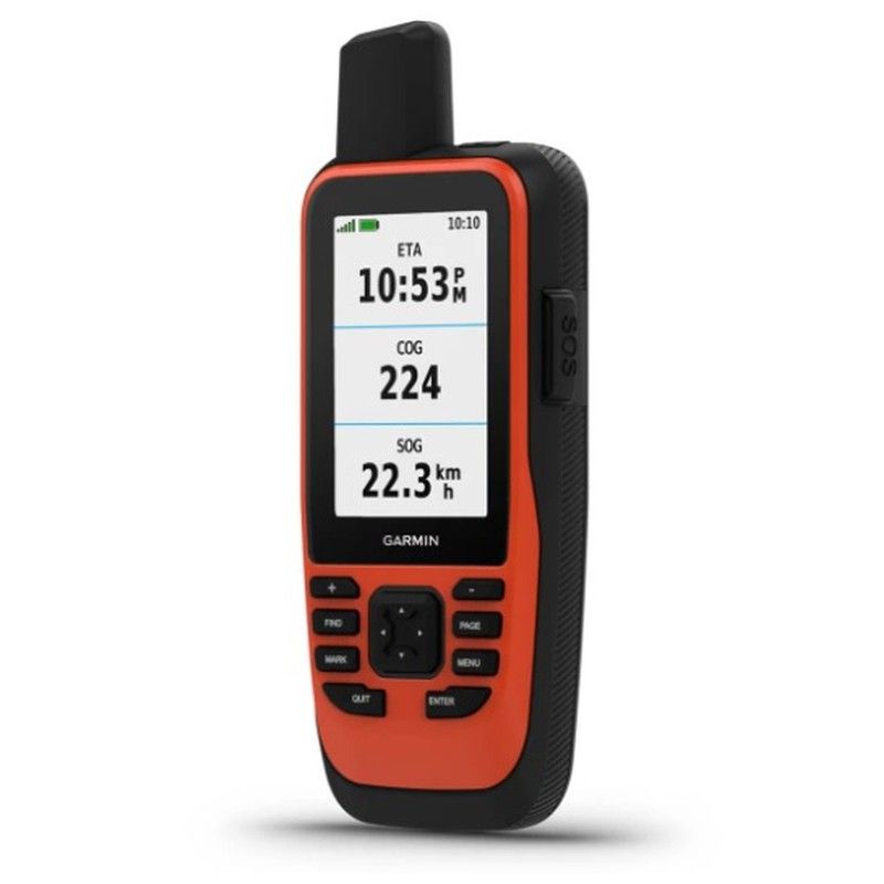
See all your marine system information at a glance with the boat data stream.
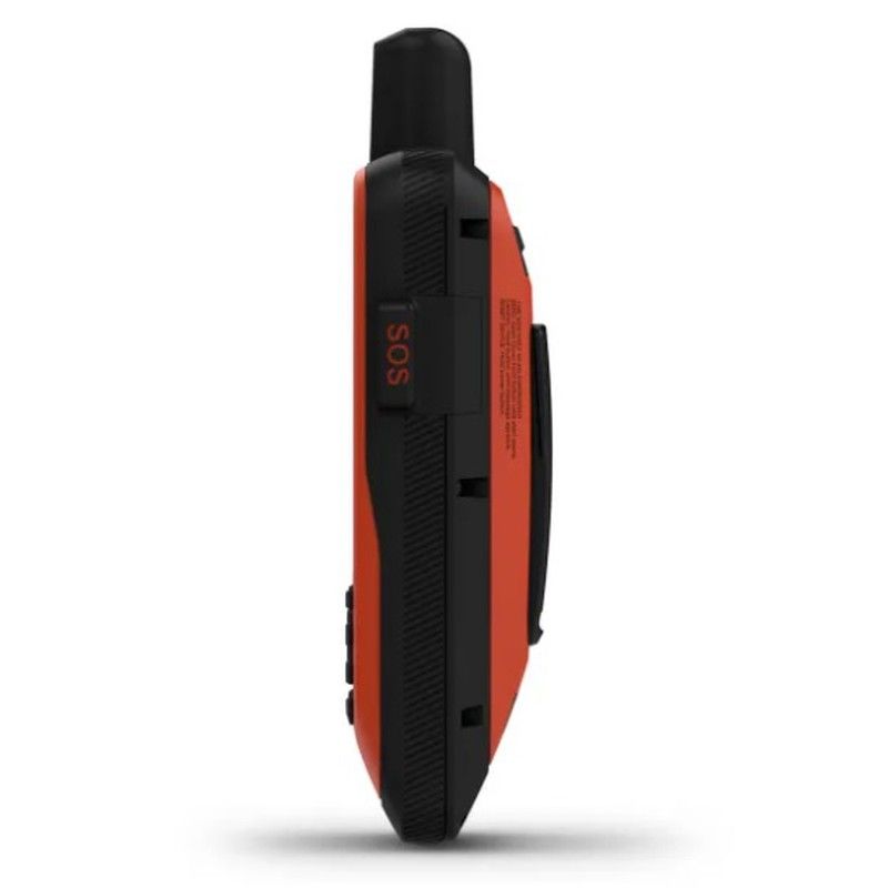
Navigate with peace of mind. inReach's interactive SOS messages are there if you need them (with an active satellite service subscription).
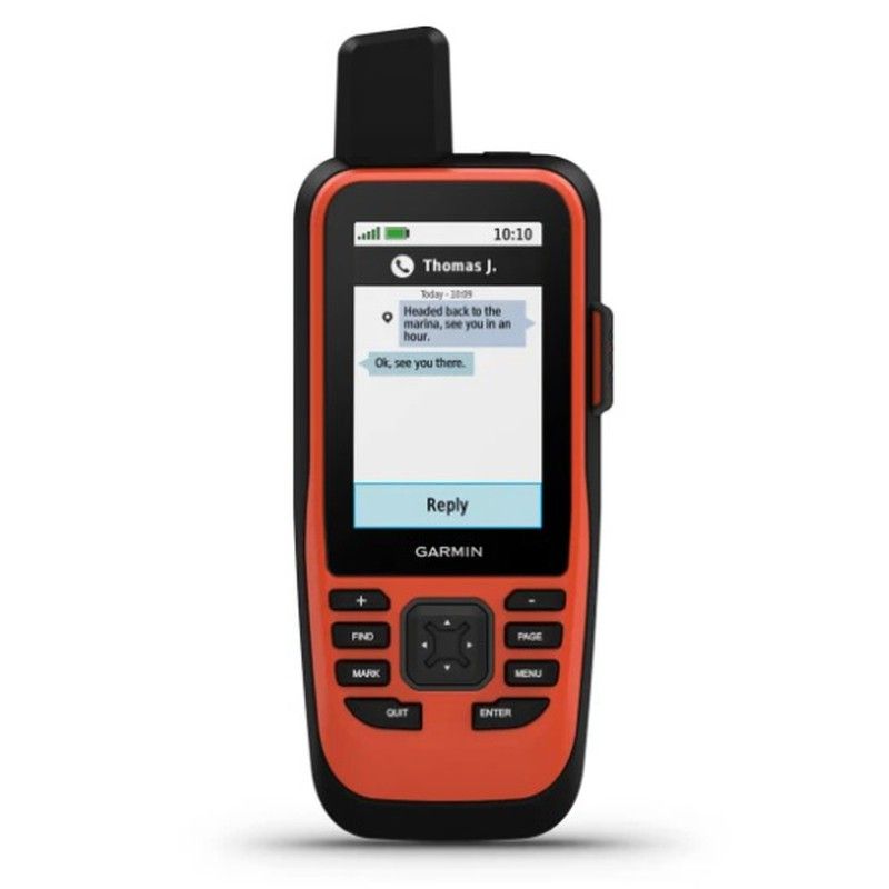
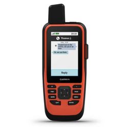
Send and receive text messages from anywhere (with an active satellite service subscription).
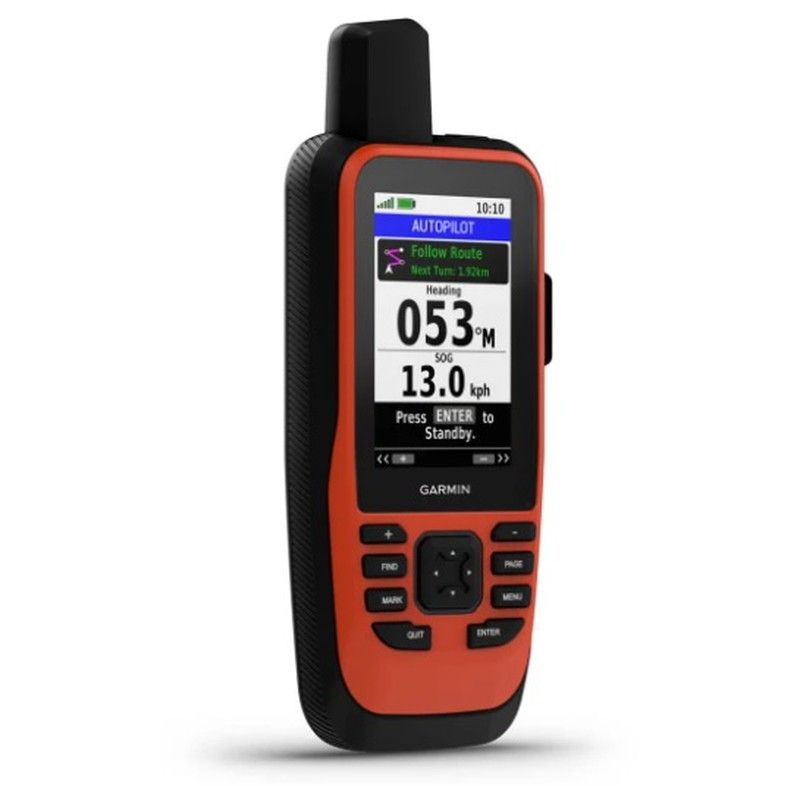
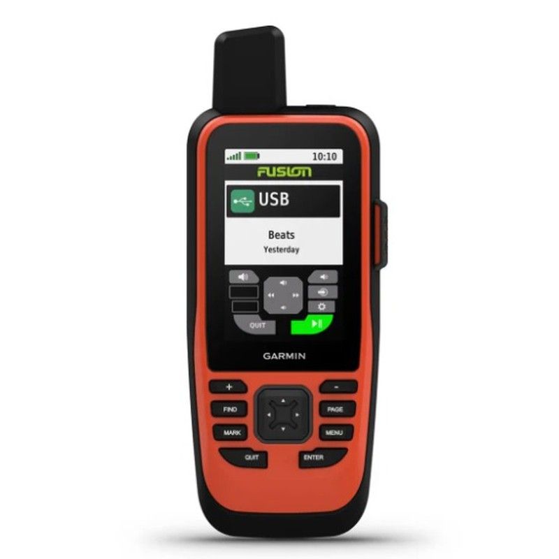
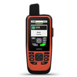
It gives you convenient control of your autopilot and Fusion® systems at your fingertips.
Enjoy longer battery life with up to 35 hours in 10-minute tracking mode.
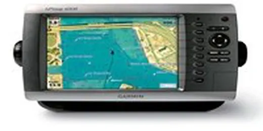
Sync with compatible Garmin chartplotters and instruments to view real-time vessel data right on your handheld.
When you're on the move, adjustable GPS filtering reduces speed and heading errors in rough seas for more accurate tracking.
See worldwide coverage with shaded relief, including major oceans, seas, lakes and rivers, plus international and political boundaries and time zone information.
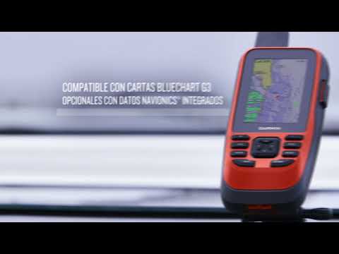
BlueChart g3 Add optional nautical charts, offering industry-leading coverage, clarity and detail with integrated Garmin and Navionics data.
Even from the bridge, you can still control your boat. Access the autopilot app to change heading, enable the steering pattern, and follow a GPS route.
Whether you're spending the day fishing, sailing, or powering a boat, you'll have the peace of mind of having a backup navigator with you.
Use ABC sensors on every trip; include an altimeter for elevation data, a barometer for monitoring weather changes, and a 3-axis electronic compass.
The Iridium®1 satellite network lets you send and receive pre-set or custom text messages or emails, and get delivery confirmation (with an active satellite service subscription).
Share your adventures with the web-based MapShare™ trip-sharing page so loved ones can follow your progress or find your device's GPS location (with an active satellite service subscription).
In case of emergency, trigger an interactive SOS message to the Garmin IERCC, a professional emergency rescue coordination center staffed 24/7 via the 100% global Iridium satellite network.
Receive weather forecasts directly on your device so you can make informed decisions based on local conditions or at your destination (with an active satellite service subscription).
Receive smart notifications directly on your GPSMAP 86i handheld when you pair it with your compatible smartphone.
Sync GPSMAP 86i with Garmin Explore to access your favorite waypoints, tracks and routes in the cloud.
The GPSMAP 86i offers Wi-Fi® connectivity, ANT+® technology and Bluetooth® wireless technology for easy wireless connections and updates.
The GPSMAP 86i takes the hassle out of carrying a lot of gear with a built-in LED flashlight that doubles as a beacon to pinpoint your position in case you need help.
The internal rechargeable lithium-ion battery provides up to 35 hours of operation. in 10-minute tracking mode and up to 200 hours in low-power mode.
Physical and Performance Characteristics
Display Material Chemically Strengthened Glass
Unit Dimensions (W x H x D) W x H: 7 x 17.8 x 4.4 cm
Weight 272 g
Water Resistance Rating IPX7
MIL-STD-810 Yes (Temperature, Shock, Water)
Display Type 65,000 Colors Transflective TFT
Display Size (W x H) 3.8 x 6.3 cm; 7.6 cm diagonal (3")
Screen Resolution (W/H) 240 x 400 pixels
Battery Internal rechargeable lithium-ion battery
Battery Life Up to 35 hours in 10-minute tracking mode; up to 200 hours in low-power mode
Memory/History 16 GB
Interface High-speed microUSB and NMEA 0183 compatible
Maps and Memory
Ability to Add Maps
Base Map
Map Segments 15,000
BirdsEye Yes (direct to device)
Includes Point of Interest Searches (parks, campgrounds, scenic spots, and picnic areas) Yes (downloadable) from Garmin Express™)
Displays national, regional, and local parks, forests, and wilderness areas Yes (downloadable from Garmin Express™)
Storage and upload capacity microSD™ card (not included)
Waypoints 10,000
Tracks 250
Tracks 20,000 points, 250 saved GPX tracks, and 300 saved exercise activities
Routes 250
Rinex logging
Sensors
GPS
Galileo
Barometric altimeter
Compass Yes (three-axis tilt-compensated)
High-sensitivity receiver
GPS compass (in movement)
Everyday Smart Features
Connect IQ™ : Watch faces, data fields, widgets, and downloadable apps
Smart Notifications on Handheld
Smart Weather Forecast
Active Weather
Garmin Messenger app support
VIRB® Remote
Garmin Connect™ Mobile compatible
Tracking and Safety Features
LiveTrack
Tactical Features
XERO™ Locations
Outdoor Recreation Features
Point-to-point Navigation
Area Calculation
Fishing Forecast
Astronomical Information
Geocaching Mode Yes (geocaches in Direct)
Custom Map Support Yes (500 custom map tiles)
Image Viewer
LED Beacon Flashlight
inReach® Features
Interactive SOS
Send and receive text messages via SMS and email
Send and receive text messages to another inReach device
Share locations with another inReach device
MapShare Support with Tracking
Virtual keyboard for creating custom messages
Send waypoints to MapShare during your route
Send route selection to MapShare during your route
Compatible with inReach®
Outdoor Apps
Compatible with Garmin Explore™ for waypoints, tracks, routes, and activities
Compatible with the Garmin Explore website
Connections
Wireless connectivity
Yes (Wi-Fi®, BLUETOOTH®, ANT+®)
What's in the box
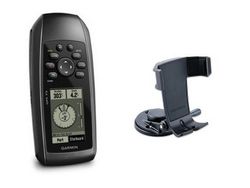
GPSMAP® 86i handheld with worldwide basemap
Powered cradle
Lanyard
MicroUSB to USB cable
USB to 2-pin cable
Components mounting
Documentation