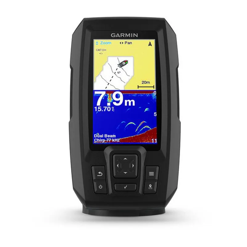
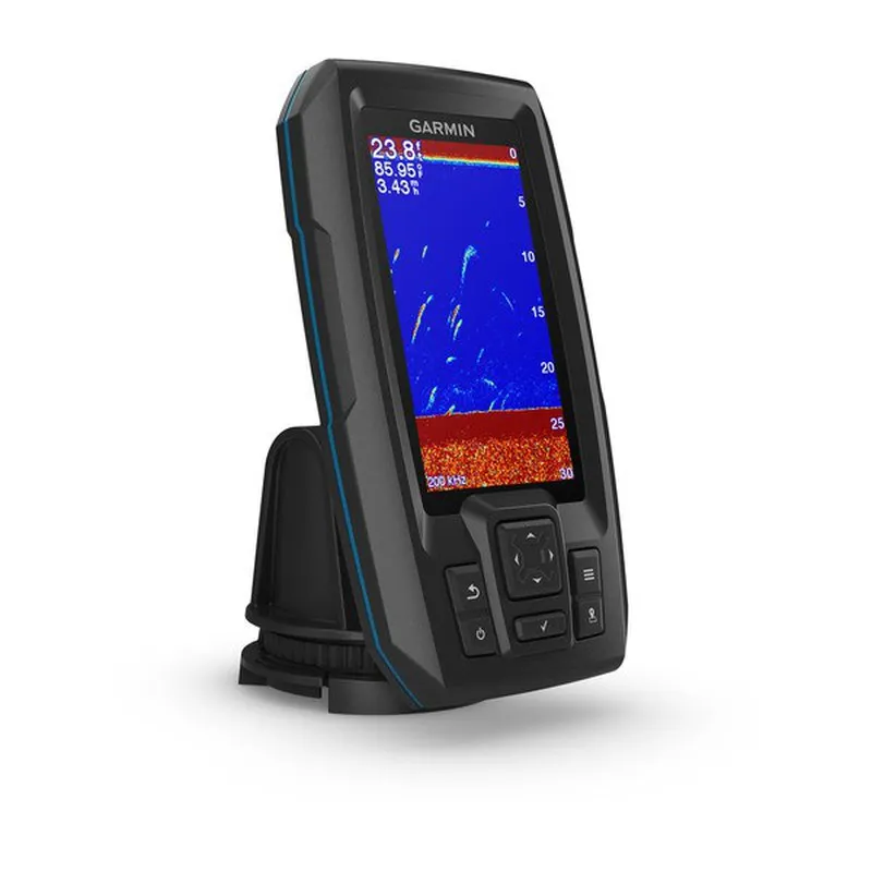
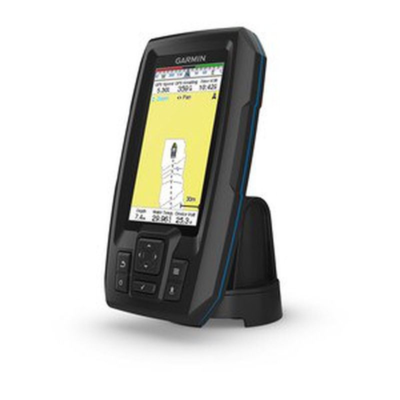
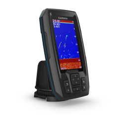
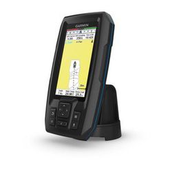
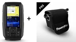
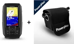
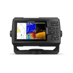
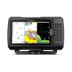
Thanks to the GPS built into the Striker Plus 4, you can store waypoints and navigate to them, and even see the speed of the boat. It has a bright 4.3-inch color screen that is readable even in sunlight and a very intuitive user interface, all with a very robust design for use in any environment.
Garmin Quickdraw Contourns
With this software included in the Garmin Striker Plus, HD fishing maps are created of all the places where the probe is navigated in areas from 30 centimeters to a total of 800,000 hectares.
GPS probe
The integrated high-sensitivity GPS can locate and maintain your position anywhere in the water. Also, GPS allows you to mark waypoints for different places. So if you find a place where the fish bite the hook, you can mark it to come back later. You can mark docks, boathouses, and other fishing spots and create routes that take you back to them next time. Thanks to GPS, the STRIKER ™ Plus 4 can also display speed on the screen, to ensure that the boat is moving at the correct speed for the hook used or in areas of limited speed.
Unit Dimensions (Width / Height / Depth) 9.8 x 17.4 x 4.5 cm Weight 0.3 kg Water Resistance IPX7 Screen Type QSVGA color Screen Size (Width / Height) 4.3 "Screen Resolution (Width / Height) 272 x 480 pixels Specifications and Features of Probe Dual frequency probe compatible Dual beam probe compatible Frequency
- Traditional: 50/77/200 kHz
Transmit Power 200 W (RMS) Bottom Lock (shows signals returning from bottom to surface) Water temperature graph and log FishfinderZoom features with split screen Ultracroll ™ (quick screen update) Fish symbol (helps identify fish) Automatic Gain Technology (allows detailed images of bottom structures and densities to be obtained) Adjustable depth line (measures the depth of underwater objects) A-scope (shows in real time the fish passing through the transducer Beam) Temperature sensor included Additional Additional Features
- Integrated GPS
- Mark waypoints
- GPS Heading (COG)
- Current consumption at 12V:
He comprado esta sonda y la instalé y no me marca la profundidad y pone mostrar en profundidad y en la pantalla me sale solo puntos. Donde puede estar el problema?
Las causas habituales son las que aparecen el siguiente enlace:
https://support.garmin.com/es-ES/?faq=LiODudMW9v1KIkI6uKmwa9
Si no lo soluciona, póngase en contacto con el servicio técnico de Garmin para que les solventen las dudas. Nosotros no sabemos que puede ocurrirle.
Departamento de asistencia
Cuantos metros tiene el cable desde traductor a la sonda
En una semana ya en casa, todo muy rápido, soy de Canarias y llegó muy bien embalado y sin problemas 👍
Excelente produto, chegou rápido, recomendo vendedor. 5 ***""
Excepcional producto, y excepcional servicio, entrega rápida, en todo momento información del pedido. Gracias.
Es la primera sonda que compro y la verdad es muy sencilla de utilizar y funciona de maravilla. Materiales de primera calidad
buena rapida entrega recomendaria aamigos y familia
Contento con la compra es lo que esperaba todo vino perfecto
How do reviews and ratings work?
The opinions and ratings of the products are mostly made by registered customers who have purchased the product. These reviews appear with a "verified purchase" mark. In any other case this mark does not appear. The product rating, out of 5 stars, is calculated as the average of all published ratings for the product. To ensure the information is useful for other customers, reviews and ratings, whether positive or negative, are published after prior approval.